Harpo
Getting away with it
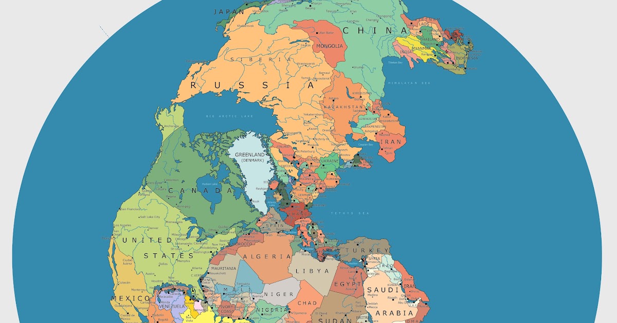
Even nowadays I’m actually nearer to Reykjavik than I am to Brighton.

Cool! What was the source?
Same for me. That’s why I posted it.I see -- just wondered if there were a particular, identifiable, high-credibility source -- I've seen Pangaea images before of course, but not with national boundaries like this one.


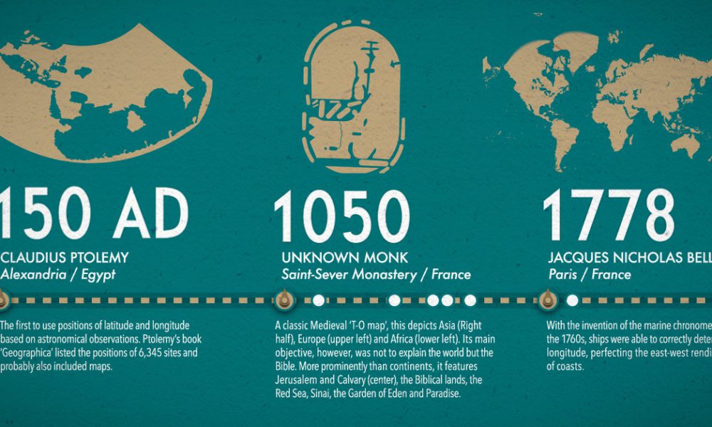
It is even better when you see the scale on the 1914 map goes to "Over 40 days" and on the 2016 it is "Over 1 1/2 days"

 www.visualcapitalist.com
And anotherA recent attempt at improving the London Underground map
London Underground Map Update : Jug Cerovic Architect
jug cerovic architect mapping wayfinding cityscapewww.jugcerovic.com
I’m guessing that’s where the original image was made?Why is Alston (the red dot) highlighted?

| Thread starter | Similar threads | Forum | Replies | Date |
|---|---|---|---|---|
|
|
Planets, maps and locations ( for both sci-fi and fantasy ) | Art | 0 | |
|
|
The Tardis and Google Maps | Doctor Who | 1 | |
| K | Brainstorming Maps and Navigational Markers... | Writing Discussion | 3 | |
|
|
Star maps | Writing Resources | 4 | |
|
|
1.02: Star Trek: Picard - Maps and Legends | Star Trek: Picard (PIC) | 26 |
